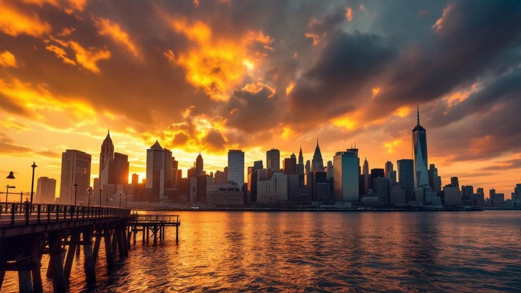
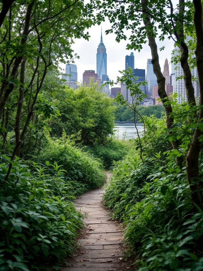
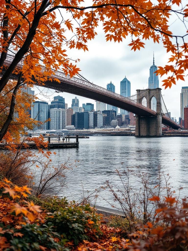
An editorial project built around the specific quality of standing at the water's edge in New York City, watching the city from its own perimeter.
Pier to Skyline is an editorial guide to the waterfront edge of New York City. We cover the Hudson River piers, the Brooklyn and Queens waterfronts, the hidden parks and decommissioned structures that the tourism industry does not reach, and the seasonal and cultural moments that make the water worth going to. Everything we publish is written from direct experience, without press trips or sponsored content.
The waterfront in New York City is not a single thing. It is a 520-mile perimeter of Manhattan, the four outer boroughs, and the harbor islands, each with different character, different history, and different reasons to visit. The Hudson River waterfront from the Battery to the George Washington Bridge is the most developed and most visited. The East River waterfront in Brooklyn and Queens is the most rapidly changing. The harbor islands are the most underknown.
We cover all of it, with more attention to places and moments that are not already over-documented. There is no shortage of content about Pier 45 at sunset. There is a shortage of useful, firsthand writing about Barretto Point in the Bronx, Mariner's Marsh on Staten Island, or what the Gowanus Canal waterfront looks like in October fog. Those gaps are where Pier to Skyline spends most of its attention.
Our stories fall into five categories that reflect the different ways people engage with the waterfront:
Every location described on this site has been visited in person, usually multiple times and in multiple seasons. We do not publish descriptions of places we have not been. We do not accept press trips, sponsored content, or payment for coverage. The piers and parks described on this site are public and free; we have no commercial relationship with any of them.
Photography on the site is original, taken at the locations described. We do not use stock photography. When we describe what a place looks like at a specific time of day or in a specific season, we are describing what we have seen, not what a stock image suggests.
Content is updated when conditions change. Pier access, park hours, and ferry schedules change regularly in New York City. We try to keep our practical information current, but always verify hours and access before planning a specific visit, particularly for locations with seasonal closures.
Pier to Skyline has a point of view about the waterfront. We believe that the most interesting parts of the New York waterfront are the ones that have retained some resistance to full commodification. Little Island is beautiful and well-designed. Pier 57 is impressive. Both are also expensive real estate projects that have transformed previously scrappy, self-organizing waterfront into managed, curated experiences. We cover both, and we cover Barretto Point, Valentino Pier, and Mariner's Marsh with equal attention, because the unselfconscious version of the waterfront is as interesting as the designed version and will not last forever.
We are not opponents of development. We are interested in documentation: capturing what the waterfront looks like at a specific moment in its long history of transformation, before the next version replaces it.