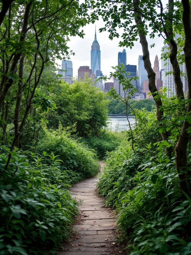
The High Line opened in 2009 and has since been replicated in concept in cities across the world. The replication never quite captures what the original is, which is not simply an elevated park but a specific walk through the physical archaeology of New York's industrial West Side, above a street grid that has changed completely in the seventeen years since the park opened. Walking it with attention to what you are actually seeing, not just through it to the exit, is a different experience from the tourist-mode version most visitors do.
The Gansevoort Street Entry: Where the Walk Begins
The southern entrance at Gansevoort Street in the Meatpacking District is the most visited entry point on the park. The entrance structure is a relatively recent addition: a pavilion with a curved roof and an elevator that deposits visitors directly onto the park level above. The street below is one of the highest-rent retail corridors in the city. The view upward from the street, looking at the underside of the former rail trestle now converted to park, gives the clearest visual sense of the original structure: dark steel beams, riveted connections, the bones of a freight line built in the 1930s to serve the meatpacking plants and warehouses that once lined this stretch.
Immediately at the top of the entry ramp, the park opens into the first major planting section: a mix of grasses, low shrubs, and seasonal perennials designed by landscape architects James Corner Field Operations to reference the wild growth that colonized the abandoned rail line during the decades it sat unused. The original self-seeded plants that grew there during the 1980s and 1990s, when the structure was derelict, became the design reference for the planted sections throughout. This is not ornamental gardening in the conventional sense. It is more like a curated version of succession ecology, plant communities that would establish themselves naturally on a disturbed industrial site.
The Washington Grasslands and 10th Avenue Square
Moving north from Gansevoort, the first major feature is the Washington Grasslands section, a long planted corridor that stays close to the original rail bed's width and alignment. The preserved rail tracks emerge here: sections of the original rail line are integrated into the walkway surface, the steel rails still embedded in their original wooden ties, now running through plantings rather than carrying freight. These track sections are the most direct physical connection to the line's operating history and the most interesting element of the park for anyone who is paying attention to what they are walking on rather than the view.
The 10th Avenue Square is the first major gathering space. A set of bleacher-style tiered seating faces west and south, framing 10th Avenue below like a stage. The view through the floor-to-ceiling window looks directly down the avenue, with traffic and pedestrians below rendered small by the thirty-foot elevation. It is a deliberately cinematic framing: the city as spectacle, observed from above. The seating fills quickly on afternoons when the light is good. This is one of the park's best people-watching positions and one of the best spots for understanding the scale relationship between the elevated park and the street below.
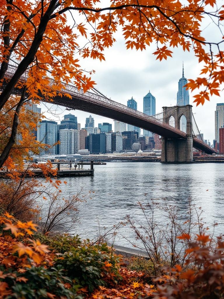
The High Line looking north from the Chelsea section. The planted corridor follows the original freight rail alignment, with the Hudson River visible between buildings to the west on clear days.
Chelsea: The Art District Section
Between 16th and 27th Streets, the High Line passes through the heart of the Chelsea gallery district. The galleries themselves are at street level and mostly invisible from the park, but the architecture of the building facades on either side of the elevated path is some of the most interesting in the city from this vantage point. The Standard Hotel straddles the High Line at 13th Street, its two towers connected by a glass-faced structure above the park level, making it one of the only buildings in the city you walk through rather than around.
The Chelsea Market Passage, between 14th and 15th Streets, takes the park briefly through the original National Biscuit Company complex that houses Chelsea Market. The passage narrows to corridor width and the original brick construction of the building closes in on both sides. It is one of the few indoor sections of the park and the most industrial in character. Sound from the market below filters up through the structure. The contrast between this tight, dark passage and the open park sections on either side is deliberate and effective.
At 23rd Street, a photographic installation on the building facade to the west documents the early history of the freight line and the industrial neighborhood that surrounded it. The photographs are large format and visible from the park level. The neighborhood in the photographs from the 1940s and 1950s is unrecognizable as the same block: warehouses, meatpacking operations, loading docks at street level. The proximity of the past documentation to the present luxury context is what makes the High Line something other than just a nice park.
Best Photography Positions
The best photography on the High Line is from the western-facing sections in late afternoon. Between 28th and 30th Streets, the park curves and the Hudson River becomes visible between the new construction to the west. The light at 4:30 to 6 p.m. in spring and fall hits the river from an angle that makes it visible from blocks away. Bring a longer lens. The distance to the water is 1,000 feet, minimum, from most of the park's western vistas.
Hudson Yards: The Northern Section
The Hudson Yards section, between 30th and 34th Streets, is the newest part of the park and the most architecturally dense. The development around it since the park's completion has been dramatic: the mixed-use complex of towers, the Shed cultural center, and the Vessel sculpture by Thomas Heatherwick have transformed what was an open rail yard into one of the highest-density new neighborhoods in the city. Walking the High Line's northern section now means walking through the canyon of new construction with the occasional glimpse west to the Hudson still visible between buildings.
The Vessel is visible from the park's northern end: a 150-foot tall climbable sculpture made of 154 flights of stairs and 80 landings in an interlocking honeycomb configuration. It was temporarily closed after a series of incidents in 2021 and has operated under modified access policies since. Check the Hudson Yards website for current access status before planning to include it in your visit.
The northern terminus of the High Line at 34th Street connects directly to the Hudson Yards complex and, via a pedestrian pathway, to the Hudson River waterfront at Pier 76. The walk from the High Line's end to the water takes about 10 minutes. This connection, between the elevated rail park and the Hudson waterfront, closes a geographic loop that makes the High Line most intelligible: it is a transit from the city's interior to its waterfront edge, a route that the freight line served for decades and that the park now serves for pedestrians.
The Spur: The Recent Extension
The Spur is a 2019 addition to the park that branches off the main line at 30th Street and extends over the Hudson Yards development site below. It is a roughly triangular elevated platform, about an acre in size, that hosts public art installations and programming by Friends of the High Line. The Spur changes character with each new installation: sometimes an outdoor performance space, sometimes a sculpture park, sometimes an open platform with seating looking out over the construction that continues below.
The view from the Spur to the west is one of the best mid-level views of the Hudson River available without going to an observation deck or paying for a rooftop. The river is visible from about a mile away, with the Weehawken and Hoboken shore of New Jersey across the water. On clear afternoons, the George Washington Bridge is visible to the north. The Spur is the logical end point for a northbound walk if you want the best views: turn around from the Spur and walk back south, which gives you the opposite orientation and a completely different relationship to the light and the city.
What the High Line Gets Wrong (And Why It Still Works)
The High Line is crowded. In summer, the midday crowd density makes some sections uncomfortable to navigate. The design, which is beautifully executed in terms of planting and spatial sequence, has not scaled well to the volume of visitors it now handles daily, which exceeds a million per year. The vendors, the merchandise, the branded programming that the Friends of the High Line deploys through the summer are all of a piece with the broader commodification of urban public space that the park has both reflected and accelerated.
None of this invalidates the walk itself. The physical logic of the structure, an elevated linear path through one of the most historically interesting neighborhoods in the city, is as compelling as it was when the park opened. The original design intention, to honor the industrial character of the rail line rather than erase it in favor of conventional parkscape, is still legible in the preserved track sections, the planting philosophy, and the building-integrated passages. Visit early in the morning or on a weekday in October and the park that emerges from the crowd is worth your attention.
Getting to the High Line
The main southern entrance at Gansevoort Street is accessible via the A/C/E subway to 14th Street / 8th Avenue, a five-minute walk south. The 1/2/3 to 14th Street / 7th Avenue is a similar walk. The northern entrance at 34th Street connects to the Hudson Yards subway station on the 7 line, which opened in 2015. This makes the north-to-south walk on the High Line convenient for visitors arriving on the 7 train, who can begin at 34th and walk south to Gansevoort before continuing to the Hudson waterfront, the Meatpacking District, or Greenwich Village.
Cycling is not permitted on the High Line. Dogs on leash are welcome. The park has accessible routes throughout, with elevators at Gansevoort Street, 14th Street, 16th Street, 18th Street, 20th Street, 23rd Street, 26th Street, 28th Street, 30th Street, and 34th Street. If you are managing mobility limitations, the elevator locations make it possible to enter or exit at any of these points rather than walking the full length.
"The High Line is the city's best argument that infrastructure, repurposed rather than demolished, can create places that infrastructure alone could never have imagined."
After the High Line: Connecting to the Waterfront
The most natural next step after walking the High Line is to continue to the Hudson River waterfront. From the southern end at Gansevoort, it is a 10-minute walk west to Pier 45 and the Hudson River Park. From the northern end at 34th, the same 10-minute walk west reaches Pier 76. Both connections make the High Line part of a longer waterfront circuit: arrive on the elevated rail, descend to the river, walk south or north along the water, and return via the street grid when you are done.
The Whitney Museum of American Art, at Gansevoort Street at the base of the High Line's southern entrance, is worth including in any visit that has the time. The museum's building, designed by Renzo Piano, has exterior terraces that look north and east over the Meatpacking District and, in certain light, offer one of the few views in the city where you can see the High Line structure from above rather than on it. The permanent collection includes significant works from the American twentieth century. The combination of the High Line walk and a visit to the Whitney makes a coherent half-day program for anyone who cares about both urban design and contemporary art.